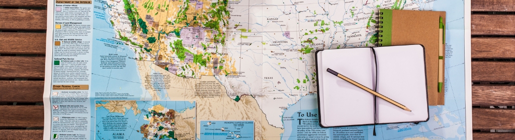
Whether it’s a sports activity like trail running, hiking, mountain biking, or even skiing, preparing your route is a crucial step before embarking on an adventure. But how do you go about it? Which tool or application should you use? With paid solutions, free ones, freemium options, and more, it can be challenging to navigate, right? Alright, let’s get started, we’ll explain everything!
Tools for Planning Your Itinerary
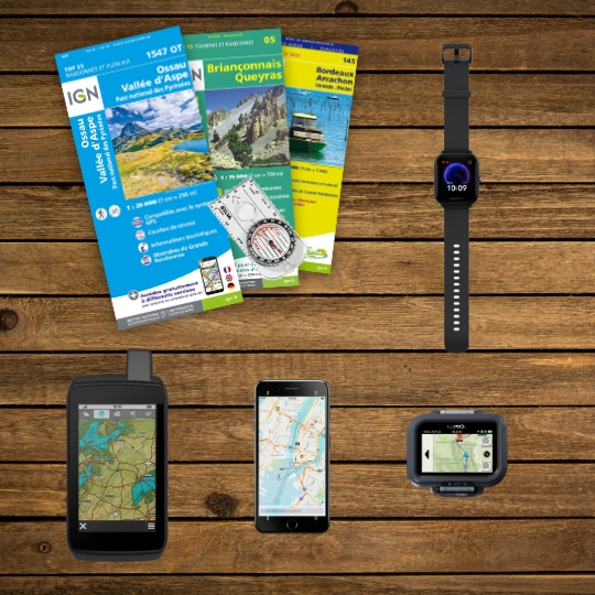
The “classic” topographic maps have long been the best way to navigate during outdoor activities.
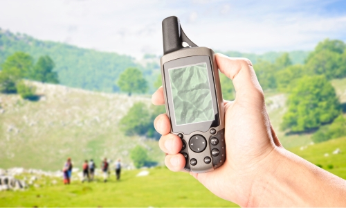
However, since the advent of GPS (Global Positioning System), things have evolved significantly to make navigation theoretically simpler. Indeed, analyzing and understanding a topographic map is not as straightforward as it may seem.
Nevertheless, digital tools (such as hiking GPS devices and GPS watches) aren’t accessible to everyone:
Learning curve for the tool,
Complexity of use,
Screen size,
Sun glare on the screen,
Inconvenient during the activity (with gloves, backpack),
Limited battery life,
Degree of precision,
Product price,
And more.
So, what about smartphones? There are indeed numerous mobile applications that allow navigation in an outdoor environment. However, a smartphone will never truly replace a dedicated tool for outdoor sports. Especially considering that it’s wiser to preserve your phone’s battery for emergencies… like making a call!
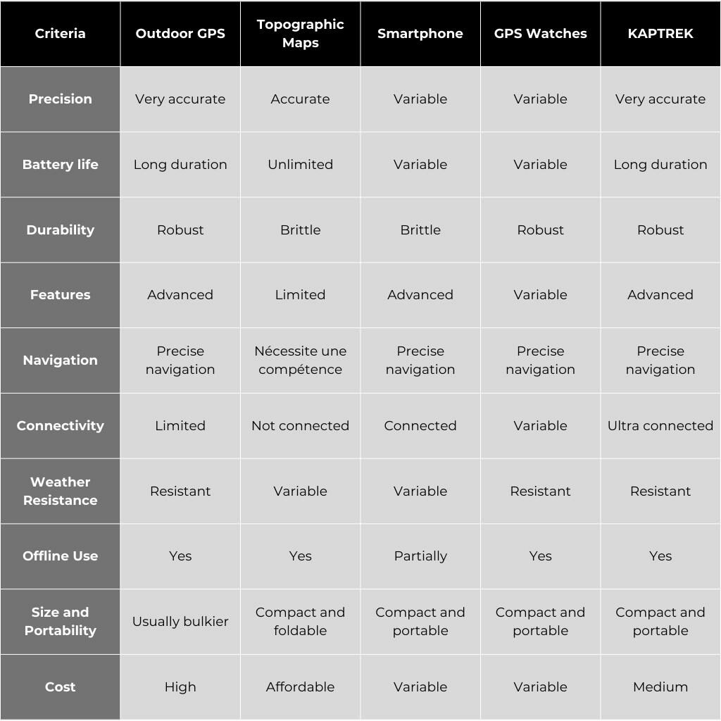
Comparison of Existing Solutions
It’s important to note that each option has its own advantages and disadvantages, and the choice will depend on your specific needs and preferences. Here’s a proposed comparison:
KAPTREK, the Ultimate Outdoor Action Controller positions itself as a precise and versatile tool.
Its battery autonomy will allow you to embark on adventures for at least a full day and extend your journey with its removable and replaceable battery.
Robust and resistant to all environments, you can take it as close as possible to your activity, wearing it on your wrist, over your jacket, attached to a backpack, or even a bicycle handlebar.
Highly connected, you can access all advanced features to connect with nature, your community, and all your equipment.
GPX routes, short for “GPS eXchange Format,” have become essential tools for adventurers and outdoor enthusiasts. Whether you’re a hiker, trail runner, cyclist, or a fan of other outdoor activities, GPX routes provide a convenient solution for mapping, sharing, and tracking precise routes.
In this section, we will delve into the benefits and uses of GPX routes, as well as the various ways they can enhance your outdoor experiences.
Whether you’re in search of new trails, exciting challenges, or simply better navigation during your outdoor adventures, GPX routes are here to assist you.
These GPX format files contain geolocation data that describe precise routes with waypoints, directions, and additional information.
They can be created using various online tools or mobile applications, and then downloaded to GPS devices, smartphones, or GPS watches for on-the-field use.
The key advantage of GPX routes is the precision they offer.
By using precise geolocation points, these routes allow you to accurately track the trails, paths, and tracks you want to explore.
They help you avoid getting lost, discover new routes, and maximize your time in nature.
Furthermore, GPX routes can be shared with fellow adventurers, making it easier to exchange information, discover new routes, and inspire each other.
It’s important to note that each application has its own unique features and advantages. The choice of the application will depend on your individual needs and preferences.
Below is a non-exhaustive comparative list of existing tools for preparing your GPS route:
AllTrails is a versatile application that provides an extensive selection of routes for various outdoor activities. It offers advanced features, high tracking accuracy, and allows the import and export of GPX files. AllTrails also boasts an extensive database, in-depth route customization, and community integration.
Strava is a popular application for outdoor sports enthusiasts. While it may not offer as extensive map coverage as some other applications, it focuses on performance tracking, community, and activity sharing. Strava allows the import and export of GPX files but lacks voice guidance and in-depth route customization features.
Komoot is a comprehensive application for outdoor activities, providing extensive map coverage and advanced features. It allows for precise route planning, importing and exporting GPX files, and offers in-depth route customization. Komoot also provides community integration and voice guidance during outings.
MapMyRun is an application that provides extensive map coverage and advanced features for tracking outdoor activities. It allows for importing and exporting GPX files as well as route customization. MapMyRun offers community integration but does not have features like voice guidance.
OpenRunner is an application that offers advanced features for planning and tracking GPX routes. It provides a wide selection of routes, route customization, and community integration. OpenRunner allows for importing and exporting GPX files as well as voice guidance during outings. It offers extensive map coverage and is compatible with various devices and platforms.
Whympr is an application dedicated to outdoor activities, offering extensive map coverage, advanced features, and community integration. It allows for importing and exporting GPX files as well as route customization. Whympr also offers voice guidance, which can be useful during outings. It provides a wide selection of routes, enabling users to discover new outdoor adventures.
In conclusion, each application has its own distinct features and advantages.
AllTrails and Komoot offer a wide selection of routes, advanced features, and high tracking accuracy.
Strava focuses on performance tracking and community.
MapMyRun provides extensive map coverage and advanced features.
OpenRunner offers community integration, voice guidance, and extensive map coverage.
Whympr offers community integration, voice guidance, and a diverse selection of routes.
The choice of the application will depend on your specific needs in terms of features, map coverage, voice guidance, and community interaction preferences.